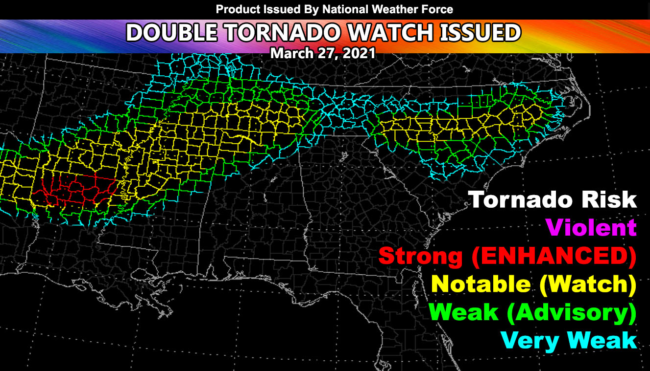
With the success of the last tornado outbreak, National Weather Force has issued a double TORNADO WATCH effective now … The first and larger watch extends from Northeast TX through parts of AR/LA/MS/TN and Northern Alabama. The second one is across North Carolina with advisory extensions into Northern South Carolina so read on for details …
The tornado outbreak that happened a couple days ago in the deep south was a success in terms of scientific purposes. It ran through evening, which is why it didn’t catch anything east of Alabama. It however did have the correct location of the strongest supercell through Central Alabama (click here to see that image) – So with that being said, lets move onto today.
Ongoing activity across Tennessee will move eastward into North Carolina. Activity will start to root along the warm front with activity moving west to east across the state. Surface observations indicate the area has easterly winds. This means that backing winds are available for the cells that move into this watch zone, combining that with instability and lift, we have a tornado risk there.
The largest watch area from NE Texas to Alabama and Tennessee exists because the frontal boundary will be the focus spot there. We should see cells out ahead of the main line across MS/LA with the warm front, which is a prime spot to watch for tornadoes. As the day moves along, discrete supercells will form across Southern AR, which will merge into a line of broken supercells through the evening, moving east. The front will ignite into NE Texas as well. Winds along this front will be out of the south for the most part, which means low level shear is maximized. Unlike other diurnal events, this will last into the night. So if you live in this watch area, pay attention to the overnight. The south end of the line across Northern Louisiana is a focus spot for the strongest dynamics into the front later on. This line of storms will last through the entire night as surface boundaries will not cool fast, which means the tornado potential lasts longer, possibly even the entire night.
Want notifications? Sign into the free email alert system and choose your state area(s) -Southern California and Arizona are not served though.
LINK TO REGISTER IF ELSEWHERE – http://www.nationalweatherforce.com/national-weather-force-email-alert-system-sign-up/
Have a comment? Ask on the FB post – You can even ask your city and get an answer if you are confused
Tornado Watch Issued For Deep South Yet Again, Extending To The Carolinas March 27, 2021
With the success of the last…
Posted by National Weather Force on Saturday, March 27, 2021

