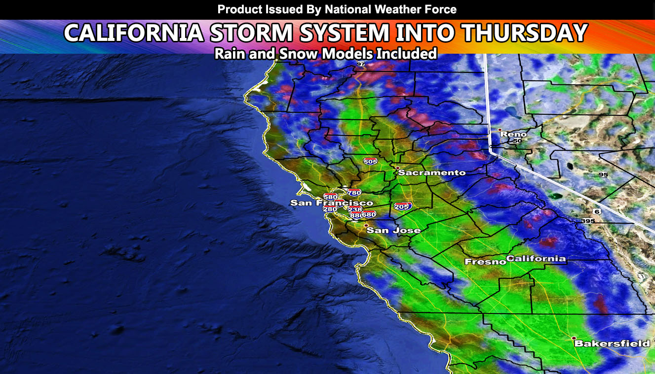
A weather pattern affecting California has started across the northern part of the state today, with thunderstorms along the coast in the Crescent City area. This frontal zone will further impact the rest of the areas further south in the metros of Sacramento and San Francisco as Tuesday rolls around, which will last through at least Thursday morning in spots so read on …
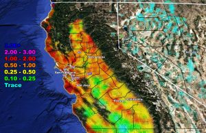
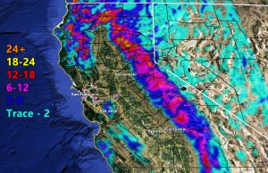
Given what the system has to offer with the cold air aloft, thunderstorms will also be likely within this event along with isolated weak tornadoes being possible. The rain and snow model below will take care of the regional zone. There are no other sectors for my model so do your best to know what section of the county or freeway system you are in.
Rain
Snow
Want notifications? Sign into the free email alert system and choose your state area(s) -Southern California and Arizona are not served though.
LINK TO REGISTER IF ELSEWHERE – http://www.nationalweatherforce.com/national-weather-force-email-alert-system-sign-up/
Have a comment? Ask on the FB post – You can even ask your city and get an answer if you are confused
Storm System To Impact California Through Thursday; Rain and Snow Models Included
A weather pattern affecting…
Posted by National Weather Force on Monday, March 8, 2021


