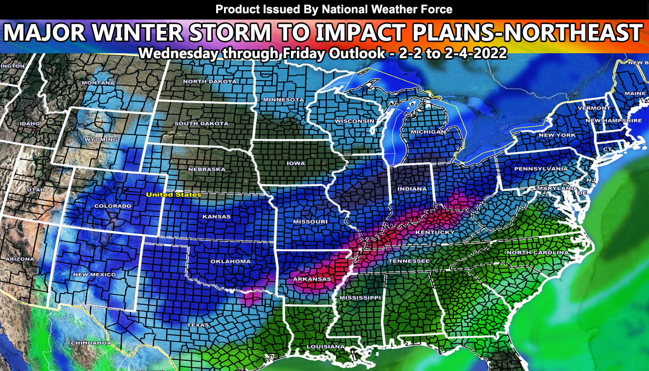
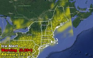
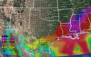
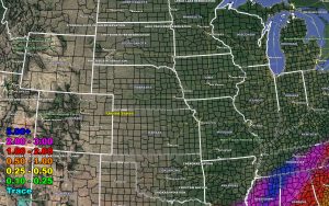
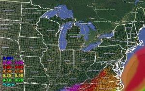
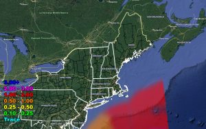
This is your final forecast for a storm system set to bring a slew of weather events depending where you are between Wednesday and Friday. You’ll either see ice, rain, snow, or a combination of both. This article will contain clickable images of ice, snow, and rain within regional sections so read on for details and see the maps within …
Not much to say … it starts overnight tonight (Tuesday) and goes through Friday … So use the images below to find out what you will be getting. I decided to put this global on the main Facebook page because I want everyone to see what the new format will be for storms. None of that reading garbage, but images you can see with highways, major cities, and counties. Everyone should know where they are on a map.
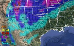
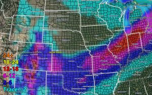
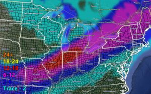
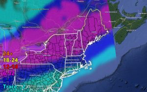
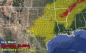
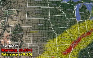
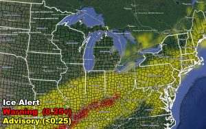
Below will be the following. The first image is the Southern Plains, which includes New Mexico. The second image is the Central Plains. The third image is the Midwest/Great Lake regions, and the last in the row is the Northeast for this article. So have it below … Stay safe out there … The ice storm warning area looks nasty …
Here is how the new alert format works for SNOW.
Anything under 2″ has no advisory.
Anything 2″ and higher is a Winter Weather Advisory
Anything 6″ or higher is a Winter Storm Warning
Anything 12″ or higher is a Major Winter Storm Warning
Here is how the new alert format works for ICE.
Anything under 0.25″ has a Freezing Rain Advisory
Anything over 0.25″ is an Ice Storm Warning
Now here are your images …
SNOW – Valid Wednesday to Friday – February 2-4, 2022
ICE – Valid Wednesday to Friday – February 2-4, 2022
RAIN – Valid Wednesday to Friday – February 2-4, 2022
HOW TO GET THESE ALERTS?.
SIGN-UP TO THE FREE NWF E-MAIL ALERT SYSTEM FOR YOUR AREA HERE WHERE YOU PICK YOUR AREA IN YOUR OWN CONTROL PANEL BY STATE LOCATION AND GET NOTIFIED WHEN A POST IS MADE FOR YOU OVER THE FACEBOOK PAGE – YOU THEN CAN INTERACT AND COMMENT – https://www.nationalweatherforce.com/national-weather-force-email-alert-system-sign-up/
FOLLOW the Facebook Page

