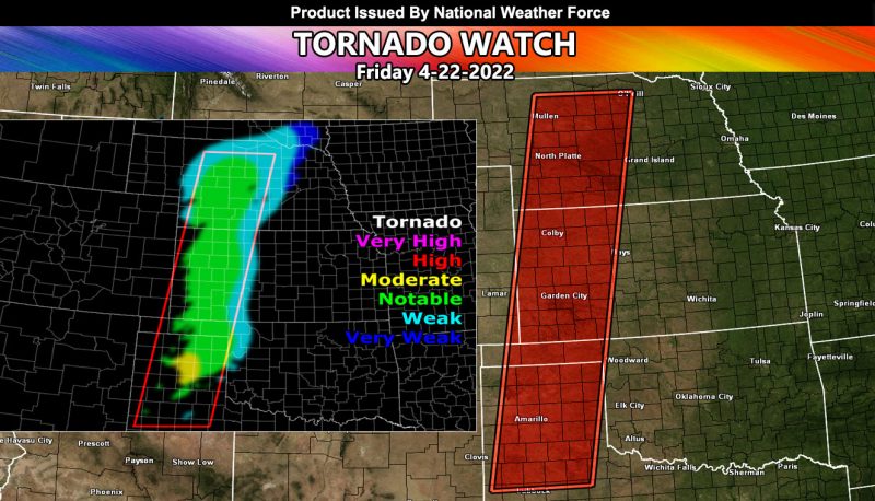
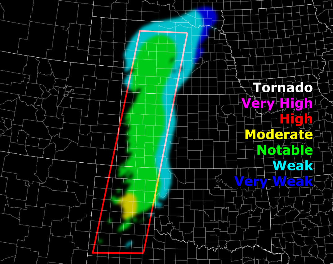
Issued or Partial Issued States: TX, OK, KS, NE – Map inside shows affected state areas.
Site: National Weather Force has issued a Tornado Watch effective this evening until midnight… April 22, 2022
Date: 4/22/22 at 8:00am Central Time
Forecast: An upper level low will eject out of the Rockies today. Starting this afternoon, temperatures in the watch area will be in the 80s with dewpoints in the upper 50s, 60s this evening. This afternoon, the watch area should remain clear of storms, but storms will rapidly develop along the dryline within the western edge of the watch box as moisture streams in from the southeast.
Instability values of 2000+ j k/g supports rapid development. Helicity values in the low-levels this evening start at 150 m/s2 but quickly strengthen to 250+ m/s2, which is more than enough for supercells to develop with rotating updrafts, thus any of the storms will be capable of tornadoes, some of them could be strong.
HOW TO GET THESE ALERTS?.
SIGN-UP TO THE FREE NWF E-MAIL ALERT SYSTEM FOR YOUR AREA HERE WHERE YOU PICK YOUR AREA IN YOUR OWN CONTROL PANEL BY STATE LOCATION AND GET NOTIFIED WHEN A POST IS MADE FOR YOU https://www.nationalweatherforce.com/national-weather-force-email-alert-system-sign-up/
FOLLOW the Facebook Page after reading this and interact with the post made about this, whether sharing, liking, or commenting … It will be answered
CLICK HERE TO FOLLOW THE MAIN FACEBOOK PAGE


