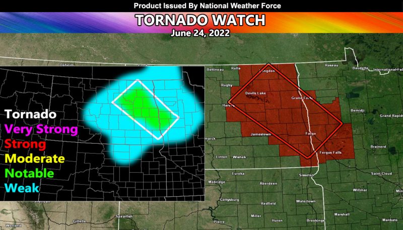
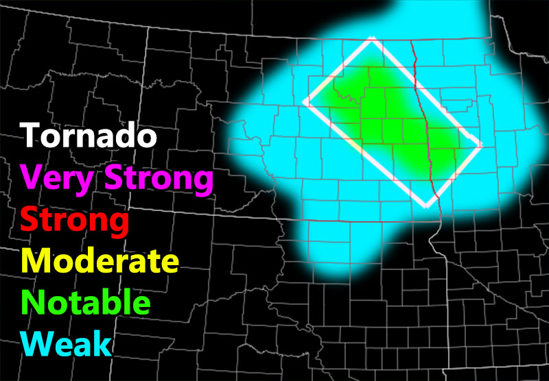
Issued or Partial Issued States: ND, MN – Map inside shows affected state areas.
Site: National Weather Force has issued a Tornado Watch effective now through this evening …
Date: 6/24/22 at 1:30pm Central Time
Forecast: An upper-level trough moving out of the Northern Rockies will move into the area this afternoon/evening. Temperatures in the mid 80s with dewpoints in the mid 70s will make for 4000 to even 5000 j k/g surface level instability (CAPE) … This is very strong so explosive thunderstorm development will ensue.
Although surface shear is on the weak side, the strong instability will cancel that out and notable tornadoes up to EF2 will be possible in and around the watch area for Eastern ND and Western MN through this evening …
HOW TO GET THESE ALERTS?.
SIGN-UP TO THE FREE NWF E-MAIL ALERT SYSTEM FOR YOUR AREA HERE WHERE YOU PICK YOUR AREA IN YOUR OWN CONTROL PANEL BY STATE LOCATION AND GET NOTIFIED WHEN A POST IS MADE FOR YOU https://www.nationalweatherforce.com/national-weather-force-email-alert-system-sign-up/
FOLLOW the Facebook Page after reading this and interact with the post made about this, whether sharing, liking, or commenting … It will be answered


