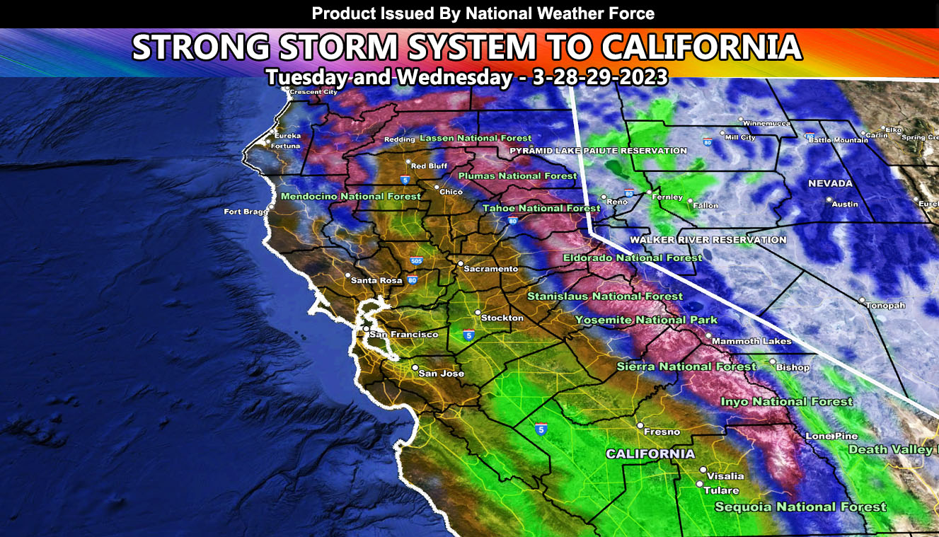
In response to the earlier issued Long Range Weather Advisory last week for this week, we will see another strong storm system moving into California starting tonight for the Northwest California zones, spreading into the rest of Northern and Central California on Tuesday.
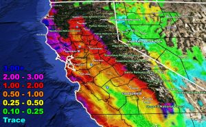
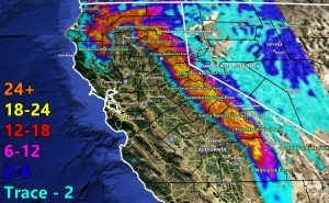
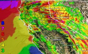
National Weather Force maps clearly indicate that mountain snow will be deep once again, a flooding will happen in the low lands as well. In addition to the rain and snow, wind will also be an issue, especially for the San Francisco forecast zones where level 4 and 5 conditions is being detected.
For Wednesday, I am seeing the cold air aloft finally moving in. Wednesday will be the main day for thunderstorm activity across the region, especially the inner zones within the Central Valley from the Sacramento zones southward along I-5 toward the Kern County line, which is in the Southern California Weather Force jurisdiction.
LONG RANGE: We are not done yet, as the Super Long Range Weather Watch stated 10 days ago, we still have more storms through April and even May.
Use the following maps below for your rain, snow, and wind effects expected with this system. Timing is Tuesday and Wednesday.
Rain Model – TUESDAY INTO WEDNESDAY 3-28-29-2023
Snow Model – TUESDAY INTO WEDNESDAY 3-28-29-2023
Wind Model – TUESDAY INTO WEDNESDAY 3-28-29-2023
HOW TO GET THESE ALERTS?.
SIGN-UP TO THE FREE NWF E-MAIL ALERT SYSTEM FOR YOUR AREA HERE WHERE YOU PICK YOUR AREA IN YOUR OWN CONTROL PANEL BY STATE LOCATION AND GET NOTIFIED WHEN A POST IS MADE FOR YOU https://www.nationalweatherforce.com/national-weather-force-email-alert-system-sign-up/
FOLLOW the Facebook Page after reading this and interact with the post made about this, whether sharing, liking, or commenting … It will be answered.
CLICK HERE TO FOLLOW THE MAIN FACEBOOK PAGE


