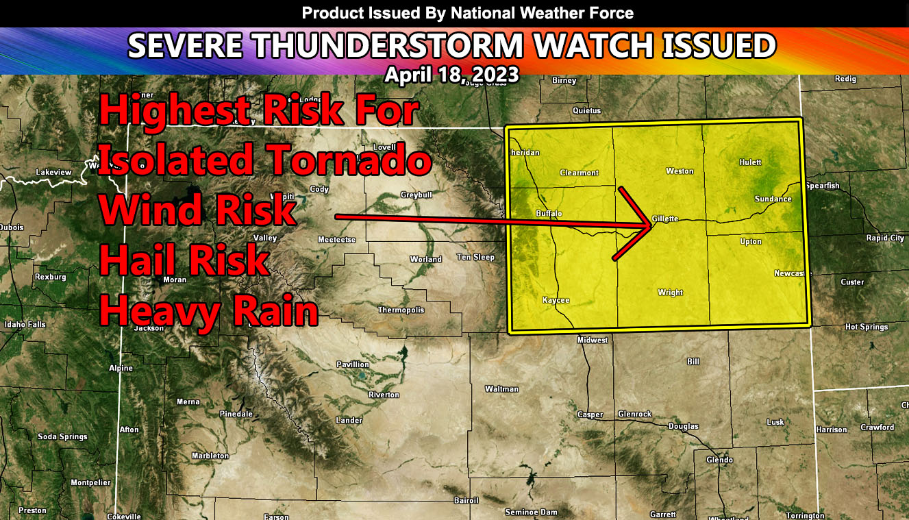
National Weather Force has issued a Severe Thunderstorm Watch for a small corner of the state of Wyoming. This corner consists of the Gillette forecast zone, which seems to be at the center of the strongest dynamics of this coming system.
A system coming out of the Pacific Northwest that has prompted the NWF Thunderstorm Watch in Portland and Seattle will move eastward with time. Thunderstorms evident now in the Salt Lake City, Utah forecast zones will move northeast with the upper-level lifting out ahead of the system.
This area of lift will move through Wyoming today, centering this Severe Thunderstorm Watch area this evening. Storm cells could produce hail and wind risks, as well as the chance of an isolated tornado.

