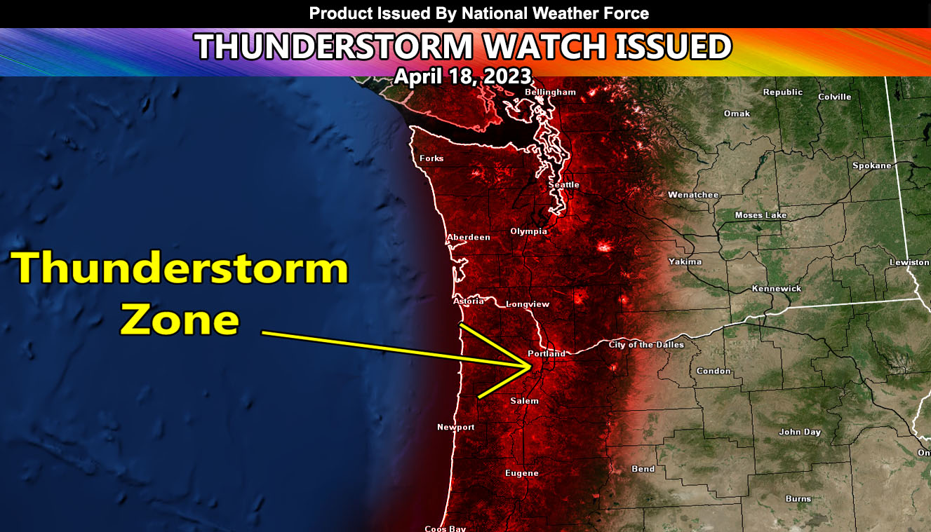
National Weather Force has Reissued a Thunderstorm Watch for Western Oregon and Washington, which includes the coast and areas along the I-5 corridor, including the Portland and Seattle Metro areas, effective now through later this evening. A line of thunderstorms off the Oregon and Washington Coast will move eastward with time through this afternoon and evening. This line of storms already has lightning with it.
This area of strong instability and upper-level lift will focus on the shaded area within this article. Lightning, hail, and gusty winds will all be likely with it as it moves through. In addition to this, the cold air aloft will bring funnel clouds through the area.
Another round of thunderstorms looks to move through the Portland, Oregon forecast zones for a third day on your Wednesday, April 19, 2023 as the last part of the storm moves through.
Another round of rain will be moving through on your Thursday …
HOW TO GET THESE ALERTS?.
SIGN-UP TO THE FREE NWF E-MAIL ALERT SYSTEM FOR YOUR AREA HERE WHERE YOU PICK YOUR AREA IN YOUR OWN CONTROL PANEL BY STATE LOCATION AND GET NOTIFIED WHEN A POST IS MADE FOR YOU https://www.nationalweatherforce.com/national-weather-force-email-alert-system-sign-up/
FOLLOW the Facebook Page after reading this and interact with the post made about this, whether sharing, liking, or commenting … It will be answered.

