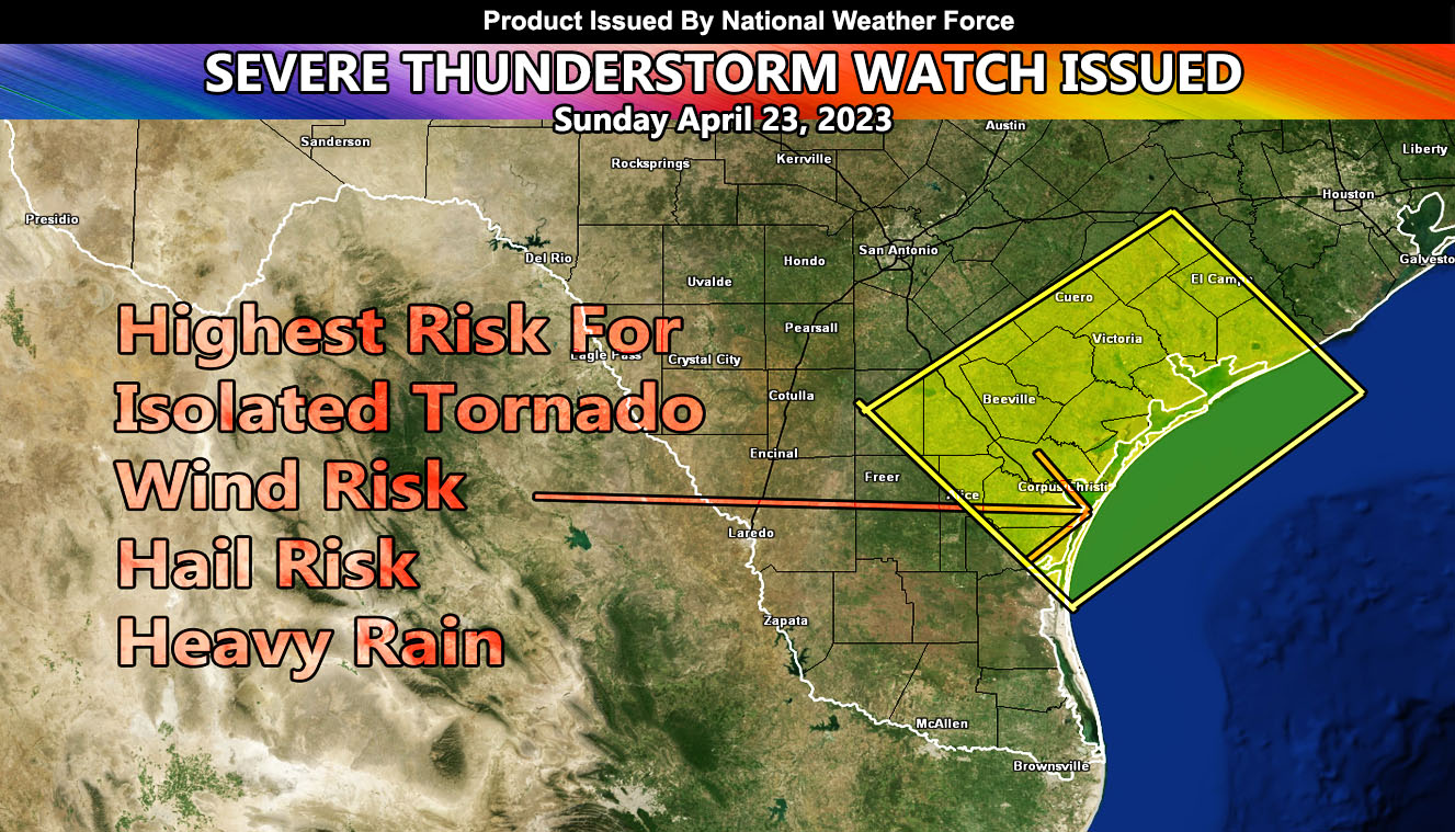
National Weather Force has issued a Severe Thunderstorm Watch for a small corner of the state of Texas. This corner consists of the Corpus Christi forecast zone, which seems to be at the center of the strongest dynamics of this coming system.
A system coming out of the San Antonio, TX forecast area will move southeastward with time. Thunderstorms evident now in that area will continue strength as they move toward this current Severe Thunderstorm Watch area with the window starting early Sunday morning and going into early afternoon at least.
Storm cells could produce hail and wind risks, as well as the chance of an isolated tornado and torrential downpours that will lead to flooding in spots. It is not recommended to be at the beach this day or have small crafts offshore.

