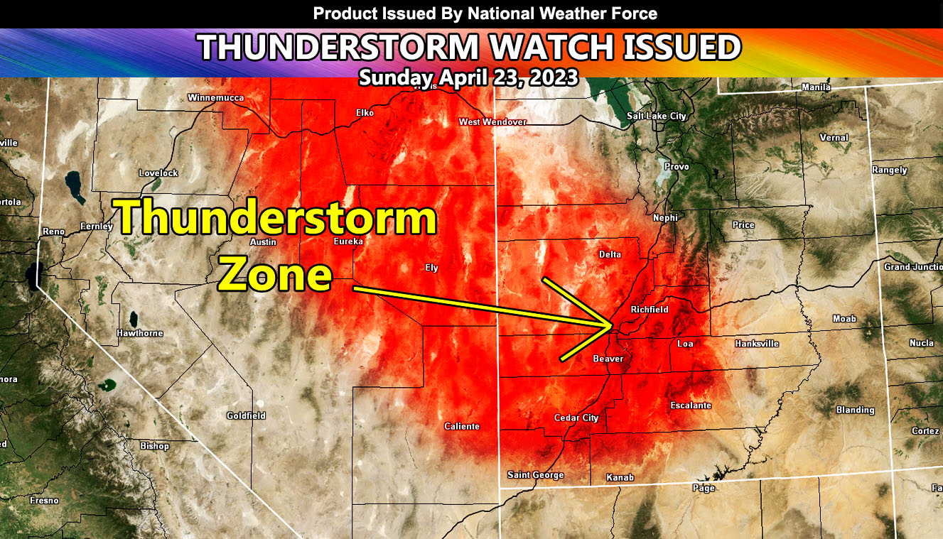
National Weather Force has issued a Thunderstorm Watch for South and Southwestern Utah, which includes areas along the I-15 corridor, including the Richfield, Beaver, and the Cedar City forecast zones effective now through later this evening. A group of thunderstorms will form in Eastern Nevada and head eastward into Utah as the day moves along.
This area of strong instability and upper-level lift will focus on the shaded area within this article. Lightning, hail, and gusty winds will all be likely with it as it moves through. In addition to this, the cold air aloft will bring funnel clouds through the area.
There are indications that the county of Beaver will be the center of the strongest dynamics, owning up to a chance that a severe thunderstorm will move through.

