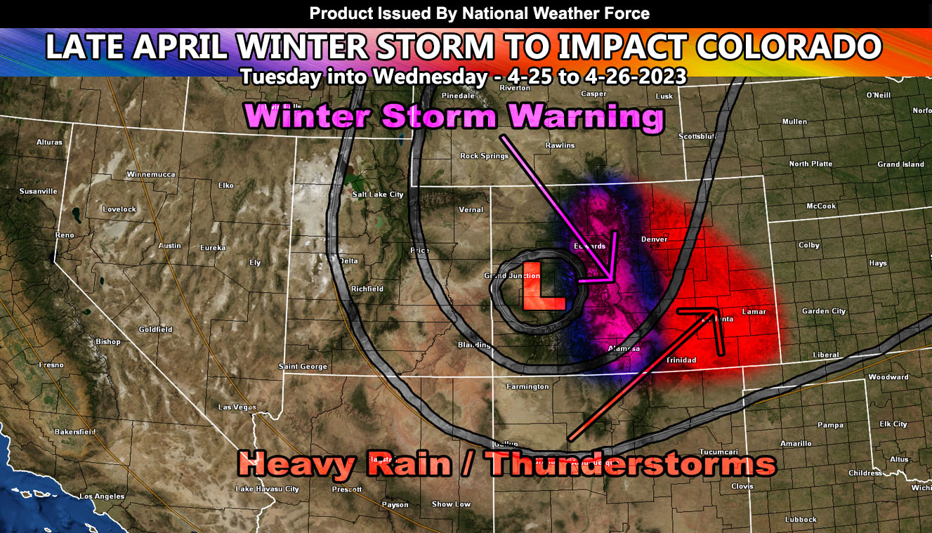
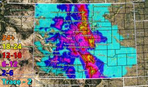
National Weather Force has issued a Winter Storm Warning for the Colorado Rockies, effective Tuesday into Wednesday morning. This late April winter storm will begin on Tuesday as an upper-level low pressure system out of the Pacific Northwest drops down into position. As the graphic in this article shows, there will be a lot of snow that will fall up there with this event. Given the proximity of the mountain vs the storm center, upper lift in the northeast quadrant will make it likely for thunderstorms to develop in the warning area. Given that, thundersnow will be in the cards.
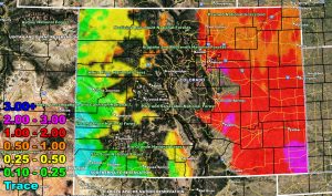
National Weather Force has issued a Thunderstorm Watch as this system will also affect the populated regions of the eastern half of Colorado from Denver, Colorado Springs, Trinidad, and the Lamar forecast zones. The upper-level low will bring a round of heavy rainfall that can lead to flooding in spots. The proximity of the system will bring thunderstorms to these regions as well, which ups the rainfall totals.
The system will move out over the later morning on Wednesday …
Use the snow and rain maps below, courtesy of the National Weather Force in-office models. They should easily be clickable.
SNOW FORECAST (in inches)
RAIN FORECAST (in inches)


