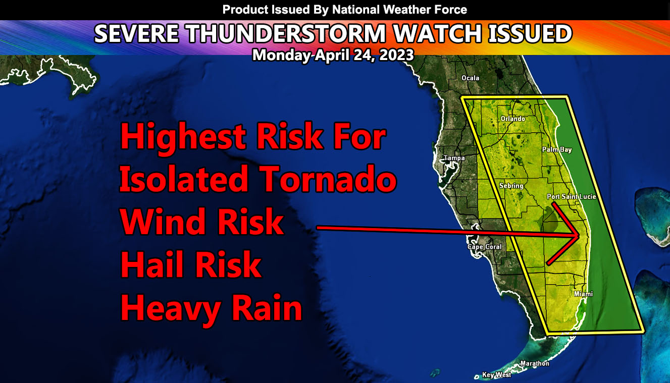
National Weather Force has issued a Severe Thunderstorm Watch for a region stretching from Central/Eastern zones into the Southern Florida areas, covering a large part of the Florida population.
A system coming out of the Texas forecast area yesterday will move eastward with time. Thunderstorms along the Eastern Florida Coast this morning are separate from the impulse that will move in this afternoon, which will start the thunderstorm event. I will say by around noon we will start to see the first cells in the southwest part of the watch zone, increasing as the afternoon moves into the evening hours. Numerous severe thunderstorm cells will be covering the area, including the areas around the Orlando Theme Park zones. So, if you are planning to be there, expect increasing severe thunderstorms.
Storm cells will produce hail and wind risks, as well as the chance of an isolated tornado and torrential downpours that will lead to flooding in spots. It is not recommended to be at the beach this day either, or have small crafts offshore.

