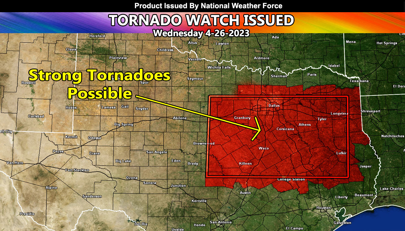
National Weather Force has issued a Tornado Watch for Central, North-Central, and Eastern Texas, effective now through some of tonight. A surface low in West-Central Texas today will bring in a strong southeast backing surface flow into the watch area. This will work with unidirectional shear to produce supercells within the region. This region also has a surface convergence boundary located in the Hillsboro forecast zone.
National Weather Force tornado forecast models clearly indicate the Hillsboro, Texas area having a powerful supercell that may harbor the energy for strong tornadoes, thus this is a moderate to strong strength tornado watch. Dallas you are within this tornado watch, however I will stress that the strongest activity is south of you for this one. If you are in the Hillsboro forecast zone, prepare now.
Storms will go past sunset and move east southeastward through the watch area with time. In addition to the tornado threat, large hail and damaging winds as well as localized flooding will hit the region.

