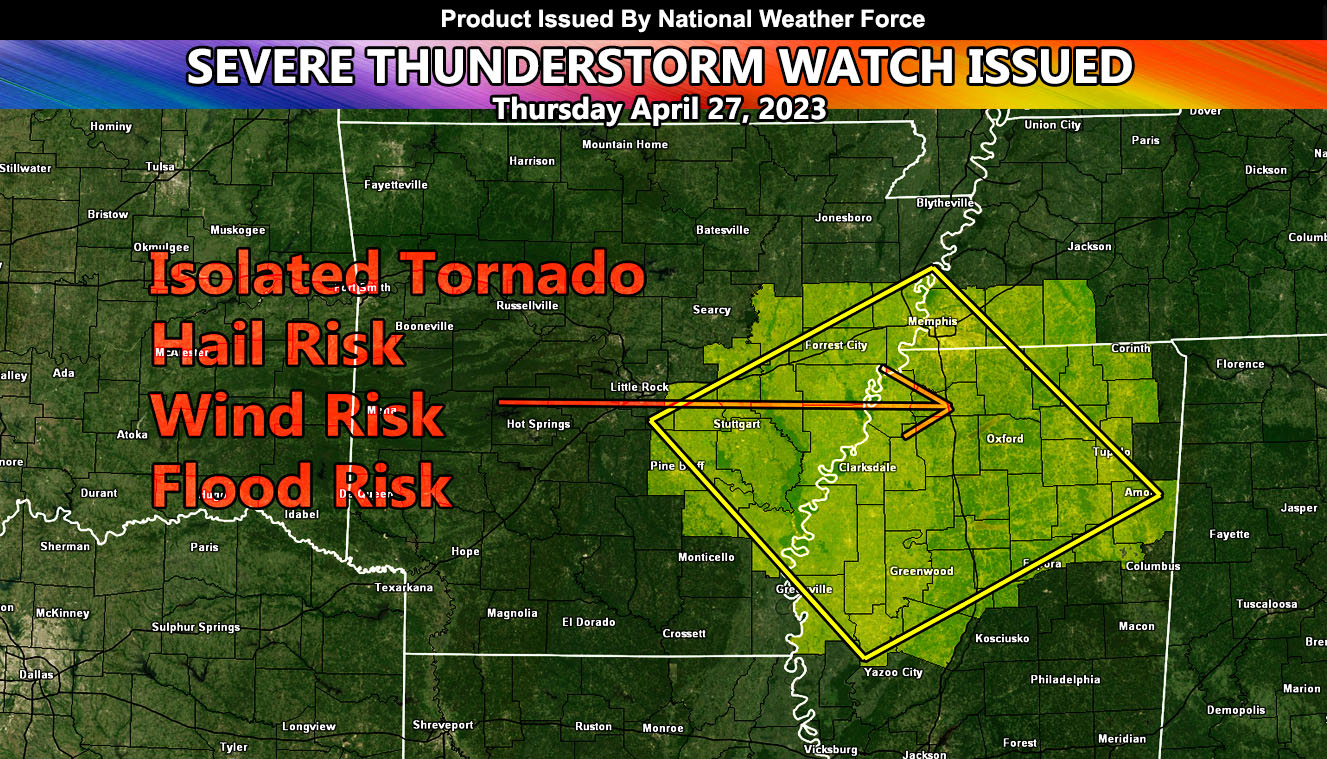
National Weather Force has issued a Severe Thunderstorm Watch for a region stretching from the Northern half of Mississippi, Eastern Arkansas, and Southwest Tennessee, effective this afternoon through evening.
A system coming out of the Texas forecast area yesterday will move eastward with time. This system is now nearing Western Arkansas and the upper-level lift associated with it will move into the severe thunderstorm watch area by this afternoon and go into this evening. The area with the most activity will be expected in Northwest Mississippi where National Weather FORCE models are predicting an area around and surrounding Tate County.
Storm cells will produce hail and wind risks, as well as the chance of an isolated tornado and torrential downpours that will lead to flooding in spots. It is not recommended to be at the lakes or river this day either …

