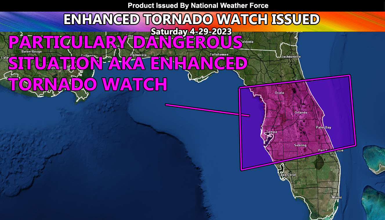
National Weather Force has issued an Enhanced Tornado Watch effective now until 8am Sunday Sunrise …
This is a PDS Tornado Watch … or Particularly Dangerous Situation …
A system out of the Gulf of Mexico will move directly into the watch area today, with a beginning round of storms. This will have tornado dynamics with it, but I am more concerned about the overnight dynamics, meaning way overnight as in Sunday morning , rare for the state of Florida.
This is when the surface low is north of the watch area and dynamics match up for strong to violent tornadoes in this watch area right through West, an Central Florida … There is a good chance an F4+ may go through the peninsula …
In conclusion I will go with two threats, one being today … the worst overnight after midnight to 8am Sunday morning … Prepare now …
In addition to the tornado threat, large hail and damaging winds as well as localized flooding will hit the region.

