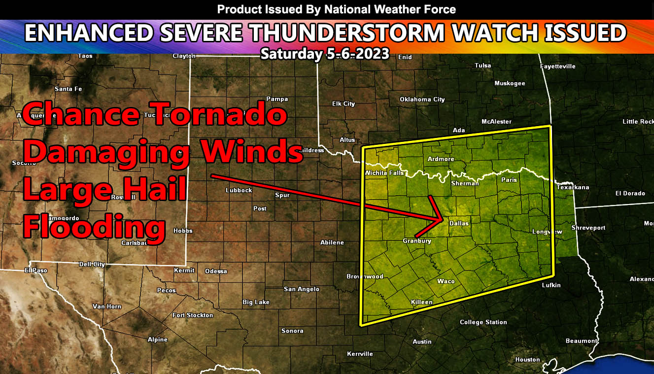
National Weather Force has issued an Enhanced Severe Thunderstorm Watch effective this evening until 4am Sunday morning for Central, North, and Northeastern Texas north to the Southern parts of Oklahoma.
A system coming out of the west will move into the region today. During the evening, thunderstorms along a dryline west of Dallas-Fort Worth will form. These storms, during the initial development period can have the power to produce the best chance of a tornado. As these storms move eastward through the watch area with time, they will gain strengthen and produce damaging wind gusts across the metroplex areas, which is the reason for the upgrade to Enhanced Severe Thunderstorm Watch. Storms will vanish in Northeast Texas by 4am local time Sunday (tomorrow morning).

