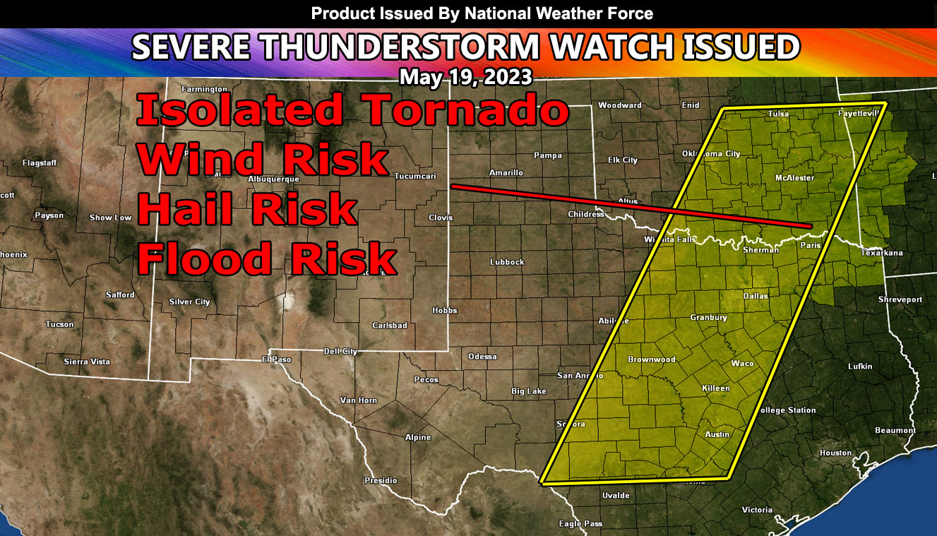
National Weather Force has issued a Severe Thunderstorm Watch effective now through overnight tonight in an area stretching from the Rio Grande in Southern Texas, north-northeast through the Dallas-Fort Worth Metroplex, and into Eastern Oklahoma and Western Arkansas.
A system coming out of the west will move into the region today. Thunderstorms along a frontal boundary moving from west-northwest to east-southeast will form.. These storms can have the power to produce the chance of a tornado, mainly in East to Southeast Oklahoma. As these storms move southeastward through the watch area with time, they will gain strengthen and produce damaging wind gusts as well. Storms will move out of the southeast corner of the watch area after later tonight, with the activity in Southern Texas near Eagle Pass (Rio Grande) holding onto severe storms until sunrise on Saturday.
In addition to the damaging winds; large hail, flooding, and that tornado risk will remain, but it will not be a full tornado watch.

