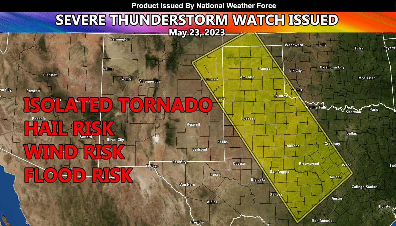
National Weather Force has issued a Severe Thunderstorm Watch effective this evening and going until midnight tonight for the Western parts of Texas, northward to the Texas Panhandle.
A system coming out of the west will move into the region today. Thunderstorms along a frontal boundary moving from west-northwest to east-southeast will form. These storms can have the power to produce the chance of a tornado, mainly in West-Central Texas. As these storms move southeastward through the watch area with time, they will gain strengthen and produce damaging wind gusts and hail as well. Storms will move out of the southeast corner of the watch area later tonight.
In addition to the damaging winds; large hail, flooding, and that tornado risk will remain, but it will not be a full tornado watch.

