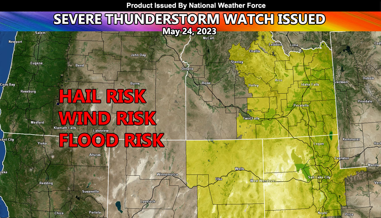
National Weather Force has re-issued a Severe Thunderstorm Watch effective today until midnight tonight for parts of Idaho, Utah, and Nevada.
An upper-level low that dropped out of Western Canada yesterday will continue to move slowly eastward across Eastern Washington through the watch period. This upper-level system will provide the lifting within the eastern periphery, which will be enough for explosive thunderstorm development. General storm motion will be north-northeasterly across the watch area. A solid group of storms will be most prominent across Northern Nevada, stretching into the eastern half of Idaho, centering the Idaho Falls to Pocatello zones once again, just as it did yesterday.
Large hail and damaging winds will be possible in and around the watch area …

