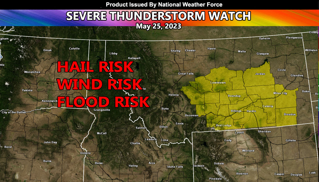
National Weather Force has issued a Severe Thunderstorm Watch effective today until midnight tonight for parts of Montana, centering and surrounding the Billings forecast area.
An upper-level low that dropped out of Western Canada on Tuesday will become stuck within the upper flow. This upper-level system will provide the lifting within the eastern periphery, which will be enough for explosive thunderstorm development. General storm motion will be northeasterly across the watch area. A line of severe thunderstorms will move through the watch area, which will directly impact the Billings, Montana forecast zones with damaging winds and also a hail risk.
Severe Thunderstorms can and do produce tornadoes with little or no warning.

