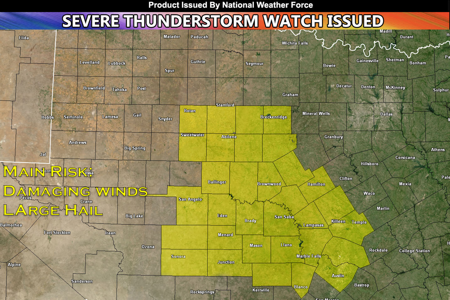
National Weather Force Severe Thunderstorm Watch in effect until 10pm for Central Texas.
Severe storms are expected to pop off along the dryline and east of an Albany to San Angelo to Sonora line. The area is already quite hot, with plenty of moisture, instability, and vertical shear to create an unstable atmosphere for severe thunderstorms. These storms will be capable of producing large hail and damaging winds. The tornado risk is very low. These storms will move from west to east along the area ahead of the dryline. Further development will also be possible along outflow boundaries. Later this evening, the storms will diminish as the environment loses the right ingredients for severe storms.
Stay tuned for more updates.
Sina⚡⚡
A forecaster & developer with over 10+ years of experience in forecasting severe thunderstorms. Completely self taught in severe weather forecasting and computer science with a foundation from UNCO in Atmospheric Science. Moreover, he has been developing new tools to increase the chances of accurately forecasting large hail and tornadoes. A big contributor of National Weather Force bringing accuracy, timely information, and tools for keeping those impacted informed.
NOTE: Alerts are posted on here, be it a tornado watch, etc, and these alerts are issued from this office and nowhere else. At times, which is often, you will see an alert forecast posted on here that you do not see elsewhere. That is fine, the track record of the main office is very high so maintain to follow an event when posted.
