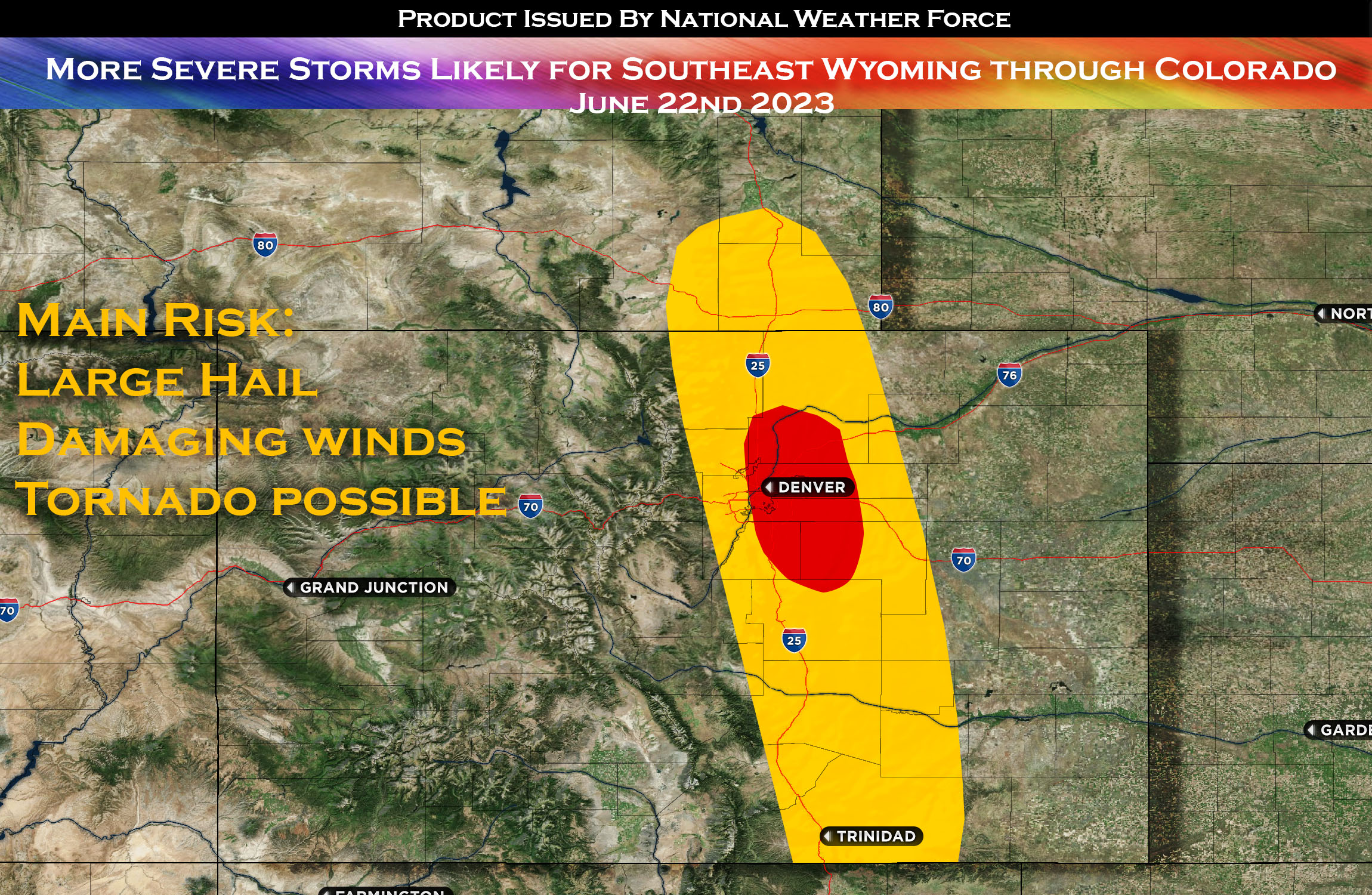
The High Plains are expected to experience favorable weather conditions that will support the development of scattered severe thunderstorms. This is due to a phenomenon known as ‘post-frontal surface flow’ which basically means that moist air follows behind a cold front, providing just the right conditions for thunderstorm formation. Furthermore, more deep moisture compared to today together with effective vertical shear will create unstable conditions that might produce a few supercells as well.
Large hail, potentially exceeding 2 inches in diameter, is predicted to be the primary initial hazard from these possible supercells. The size and speed at which hail falls can cause substantial damage to property and pose a serious threat to safety. Moreover, while the main concern lies with large hail, the possibility of a tornado or two cannot be entirely dismissed. Tornadoes, while less likely, are still a potential outcome of supercell thunderstorms, particularly when wind shear and buoyancy conditions are just right.
End Article –
——————————
Sina⚡⚡
A forecaster & developer with over 10+ years of experience in forecasting severe thunderstorms. Completely self taught in severe weather forecasting and computer science with a foundation from UNCO in Atmospheric Science. Moreover, he has been developing new tools to increase the chances of accurately forecasting large hail and tornadoes. A big contributor of National Weather Force bringing accuracy, timely information, and tools for keeping those impacted informed.
NOTE: Alerts are posted on here, be it a tornado watch, etc, and these alerts are issued from this office and nowhere else. At times, which is often, you will see an alert forecast posted on here that you do not see elsewhere. That is fine, the track record of the main office is very high so maintain to follow an event when posted.
