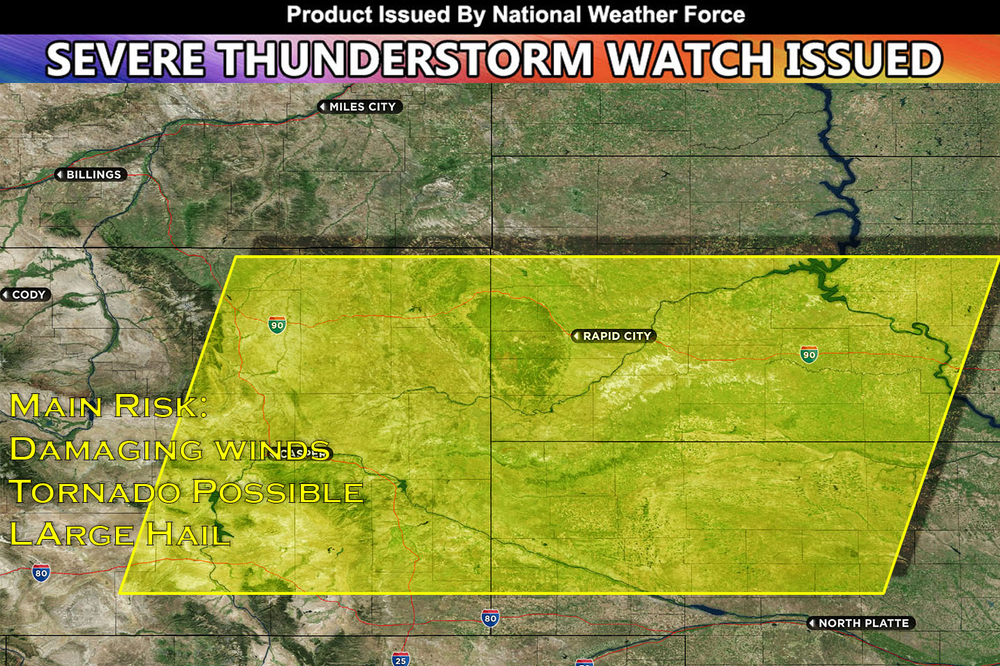
National Weather Force Severe Thunderstorm Watch in effect until 1am CDT from Northeast WY through Southwest SD & Northwest NE.
A combination of unstable conditions such as airmass heating, warm-advection-related recovery, and upslope flow into higher terrain will give away to severe thunderstorms. Furthermore, with minimized cap (MLCINH) therefore fewer barriers to storm formation combined with a strong vertical shear will allow for all hazard types with supercells. However, as the evening approaches, the main concern shifts towards severe wind gusts with a multi clusters of storm pushing east into the Nebraska/South Dakota area.
These storms will continue to push eastward throughout the night and as they do, they will bring damaging winds and heavy rain which could lead to flooding.
