
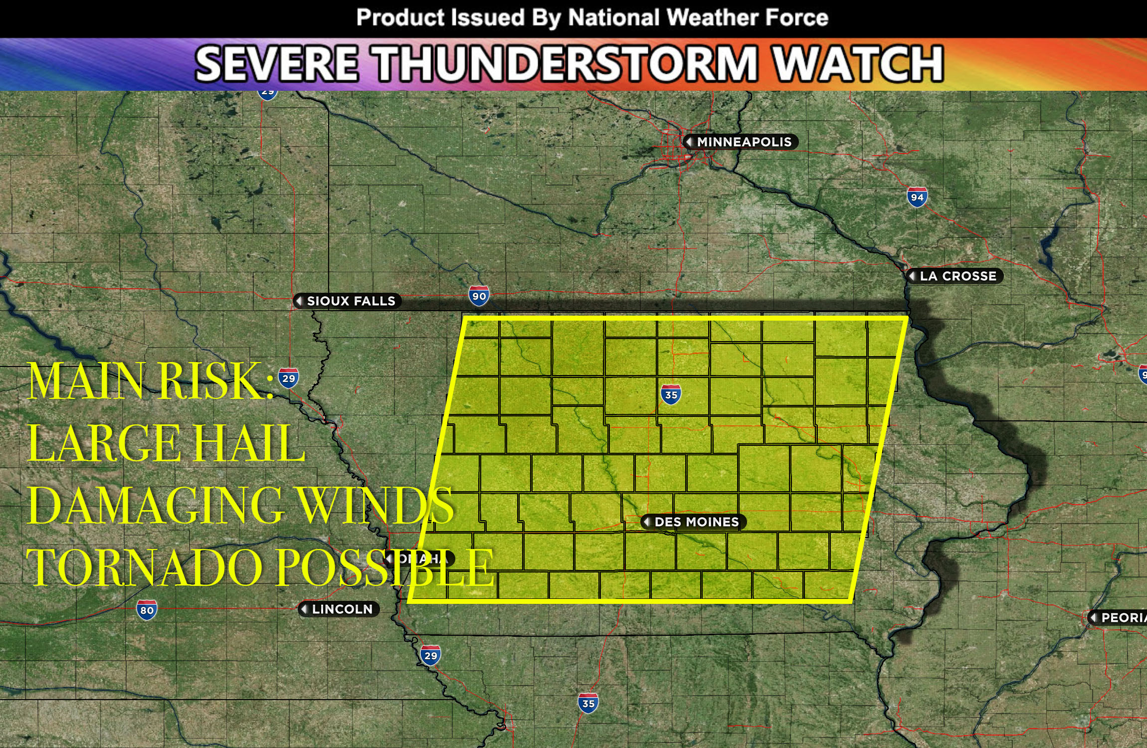
National Weather Force has issued a Severe Thunderstorm Watch effective for central, northern, southern and northeast Iowa until 8pm CDT.
Morning storms in central and eastern Iowa have eased but a warm front has initiated new storms. One of these, northwest of Des Moines, is intensifying and may produce large hail and damaging winds. Current conditions could also lead to isolated damaging winds and potentially a few tornadoes, especially in central and southern Iowa.
In northern Iowa, storm development may be slower due to persistent cloud cover. Besides tornadoes, there’s a threat of large hail, possibly up to 2 inches due to unstable atmospheric conditions and wind changes. As these winds shift, the storm may grow and increase the risk of damaging winds especially into the overnight hours as they move east. More outflow boundaries especially in the evening can cause more convection as well with main risk being large hail, damaging winds and perhaps a tornado. Storms will bow out and become more linear as they move to the east overnight before diminishing.
Stay tuned for more updates.