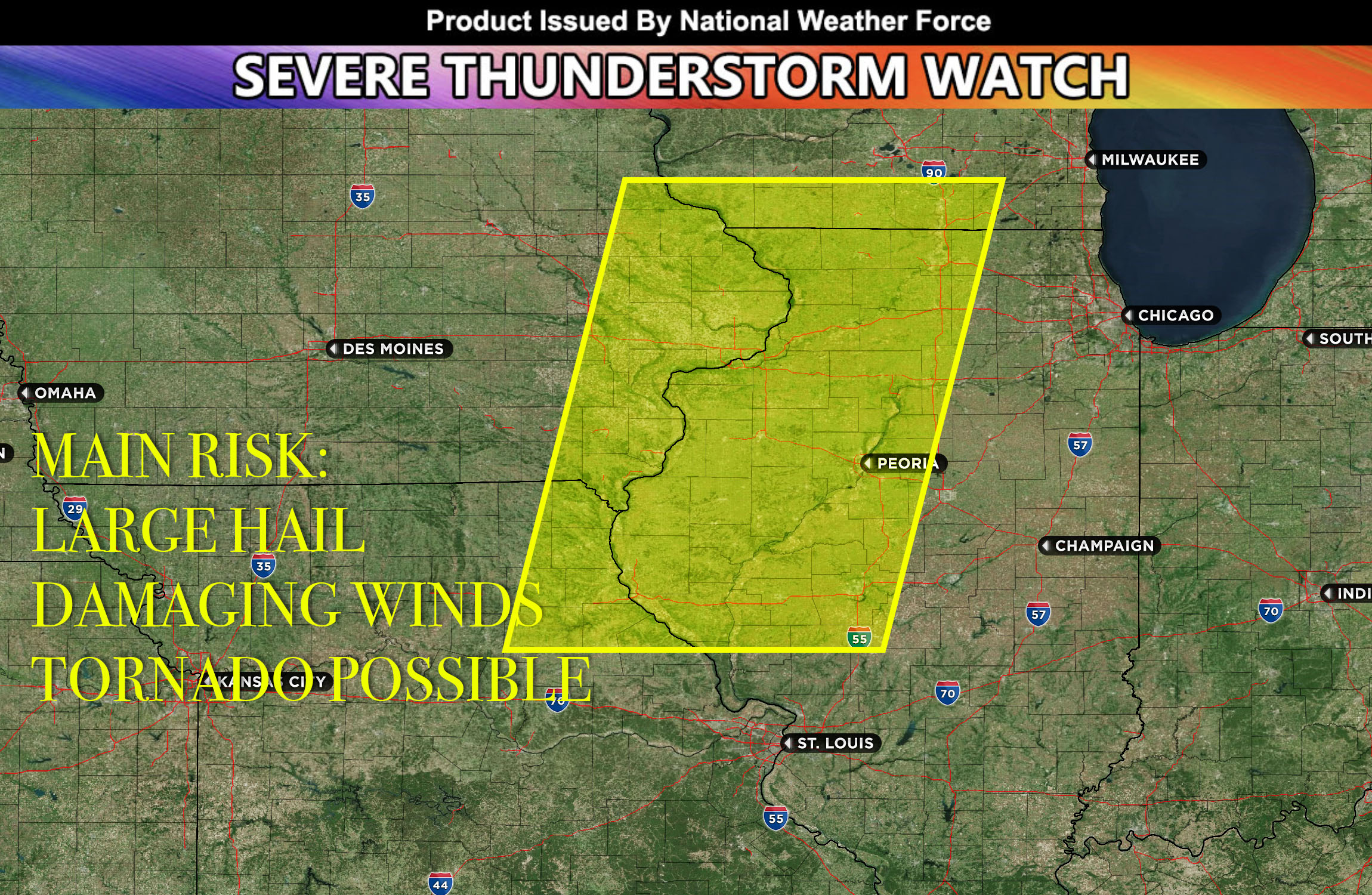
National Weather Force has issued a Severe Thunderstorm Watch effective for northeastern IA, southeastern IA, eastern IA, northwestern IL and extreme northeast MO until 12am CDT.
Convective activity continuing to increase rapidly west of the area in Iowa due to the unstable atmosphere. Additional storms are expected to develop in the next few hours due to warm air moving into the region and the influence of a previous outflow. This combined with high levels of deep layer shear, instability and moisture will give away to severe thunderstorms. Latest observations and data continue to also indicate that the existing storms will continue potentially become more organized. This activity will continue into western Illinois area in the coming hours with the risk of large hail and damaging winds. These storms will dissipate as they move out of the favorable environment.
Stay tuned for more updates.
