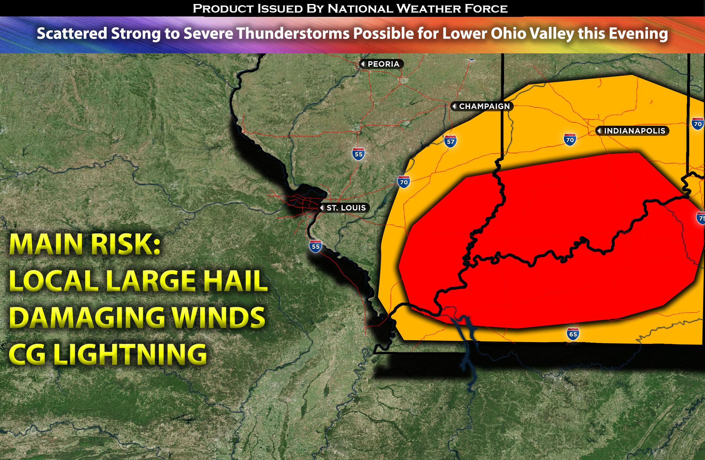
Lower Ohio Valley from KY bordering IN/IL:
Lingering showers and thunderstorms are anticipated to continue in central Indiana and portions of IL diminishing with time. Then stronger to severe storms possible to the southern portions of IL/IN and KY later this evening. The main risk will be large hail (locally), damaging winds and CG lightning.
Timing & Impact Details: Determining the exact timing of storm formation can be challenging, especially since it’s likely to be sporadic, depending largely on when destabilization occurs. Storms are anticipated to form around 4pm EDT, though showers and thunderstorms will continue elsewhere. The primary focus for any severe weather will be in the southern portions of IL/IN and extending into the KY area. Storms will originate from the west and move eastward across the region. The main risks include large hail (locally), a few instances of damaging winds, and CG lightning.
Forecast Details:
Lingering showers and thunderstorms from yesterday continue in the IL/IN area and vicinity. At the surface, a warm front/stationary front is situated over the area with a low pressure spinning over IL/IN creating some upper-level divergence. There’s a somewhat limited mid-level jet with speeds of 30-40 kts, although some areas experience higher flow. This, combined with gradually moistening air and elevated instability exceeding 1500 J/kg, as well as the gradual destabilization of the atmosphere, will lead to the formation of a few stronger and potentially severe storms. The primary risks are large hail and possibly a few instances of damaging winds.
Main risk: Large Hail (locally), damaging winds
Stay tuned for more updates.
Sina⚡⚡
With over a decade of experience in forecasting severe thunderstorms, this individual is a seasoned forecaster and developer. Their expertise in severe weather forecasting and computer science is entirely self-taught, complemented by a foundation in Atmospheric Science from UNCO. They have dedicated their efforts to developing innovative tools that enhance the accuracy of analyzing large hail and tornadoes. As a significant contributor to the National Weather Force, they have played a crucial role in providing accurate and timely information, as well as developing tools to keep those affected well-informed.
NOTE: The alerts and outlooks posted here are customary made to inform. At times, which is often, you will see an alert forecast posted on here that you do not see elsewhere. That is fine, the track record of the main office is very high so maintain to follow an event when posted. These are custom concentrated alerts and outlooks that are created by National Weather Force team of experts.
