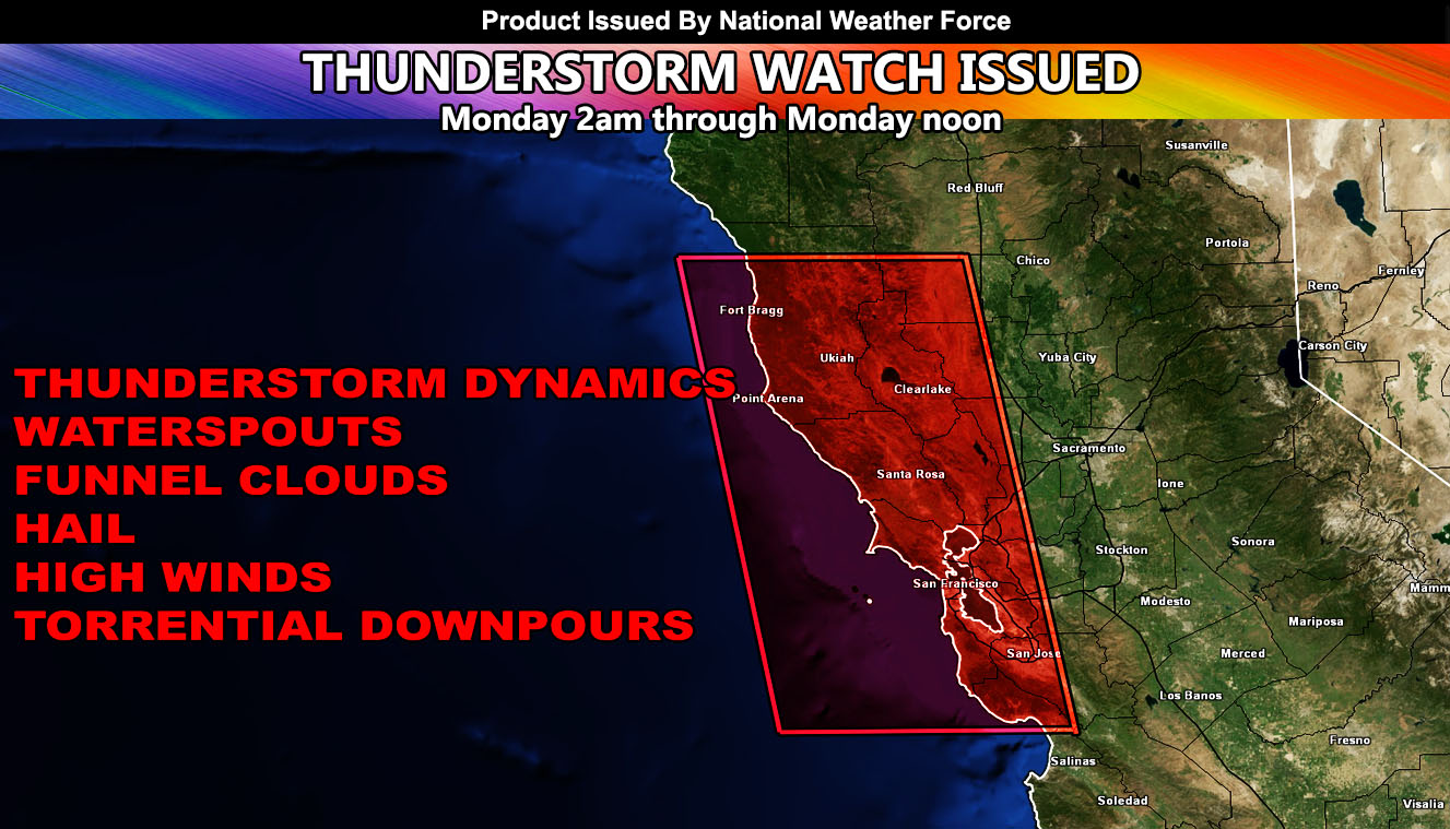
National Weather Force has issued a Thunderstorm Watch effective for the areas surrounding the San Francisco Bay area for Monday morning as thunderstorm dynamics will be on the increase.
Upper-level dynamics have provided some isolated thunderstorm activity offshore and just along the coast to the northwest of the Bay area this morning. While dynamics for rain and isolated thunderstorms will increase for the region through today, the strongest dynamics calculated by National Weather Force models will start at 2am on Monday and go through about noon, a 10-hour watch window.
Thunderstorms will be aided by strong upper divergence (lift) associated with an upcoming system. This strong lift will work with strengthening instability and bring an impulse from the mid-levels through during the watch period.
Thunderstorms within the watch zone will bring waterspouts, funnel clouds, hail high winds, and torrential downpours. Storms within the area may bring a lightshow to the Bay area in the early morning hours so if you enjoy taking pictures of the sky, this is an opportunity.
– Raiden Storm –
https://www.nationalweatherforce.com
Master General Meteorologist – is the owner and CEO of National Weather Force. A consulting meteorologist with over 26 years’ experience for over 50 companies, including energy, agriculture, aviation, marine, leisure, and many more areas. He has certs from Mississippi State for broadcast met and Penn State forecasting certs MET 101, 241, 341 and 361 as a meteorologist, but before then was completely self-taught, barely learning a thing from the schools that he did not already know.

