Brief Outlook:
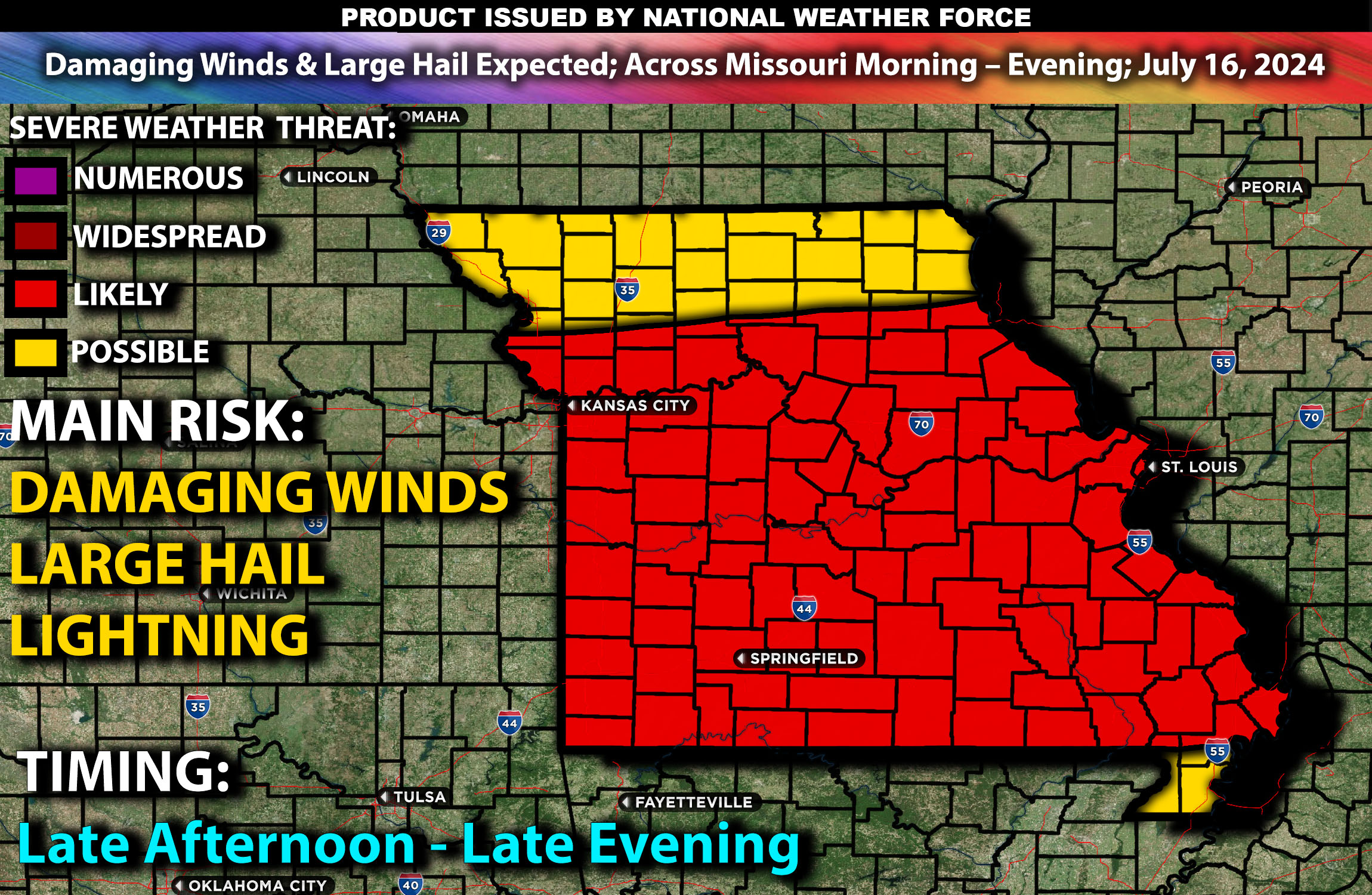
Severe thunderstorms are expected across Missouri on Tuesday, July 16, 2024. Storms are likely to begin impacting the region from the early afternoon through the evening. The main threats include damaging winds and large hail.
Regions Impacted: Missouri
States: Missouri
Cities: Kansas City, St. Louis, Springfield
Detailed Forecast:
A complex weather scenario involving multiple surface boundaries will affect Missouri. A surface cold front will stretch from northern Missouri into northwest Oklahoma and the northern Texas Panhandle during the morning, moving southward and stalling by the afternoon. Another cold front will advance southward across the northern Plains into Nebraska by late afternoon and continue into Kansas overnight.
The upper-level dynamics involve broad cyclonically curved mid/upper flow associated with an upper trough over the Great Lakes, enhancing mid-level moisture and supporting robust convective development. Steep mid-level lapse rates (significant change in temperature with height) combined with strong instability (dewpoints in the mid/upper 60s°F) will create a favorable environment for severe thunderstorms to form.
Thunderstorms are expected to develop along the stalled frontal boundary in Missouri. These storms may organize into clusters capable of producing damaging winds and large hail. The severe threat will be heightened along the instability gradient.
Timing:
Thunderstorms are expected to initiate in Missouri early morning and continue by early afternoon around 1 PM, moving eastward and affecting major cities such as Kansas City and St. Louis between 2 PM and 4 PM. As the storms continue to move eastward, Springfield will be impacted by mid-afternoon around 5 PM.
Main Impact: damaging winds, large hail & lightning.
Stay tuned for more updates.
Sina⚡⚡
