Brief Outlook:
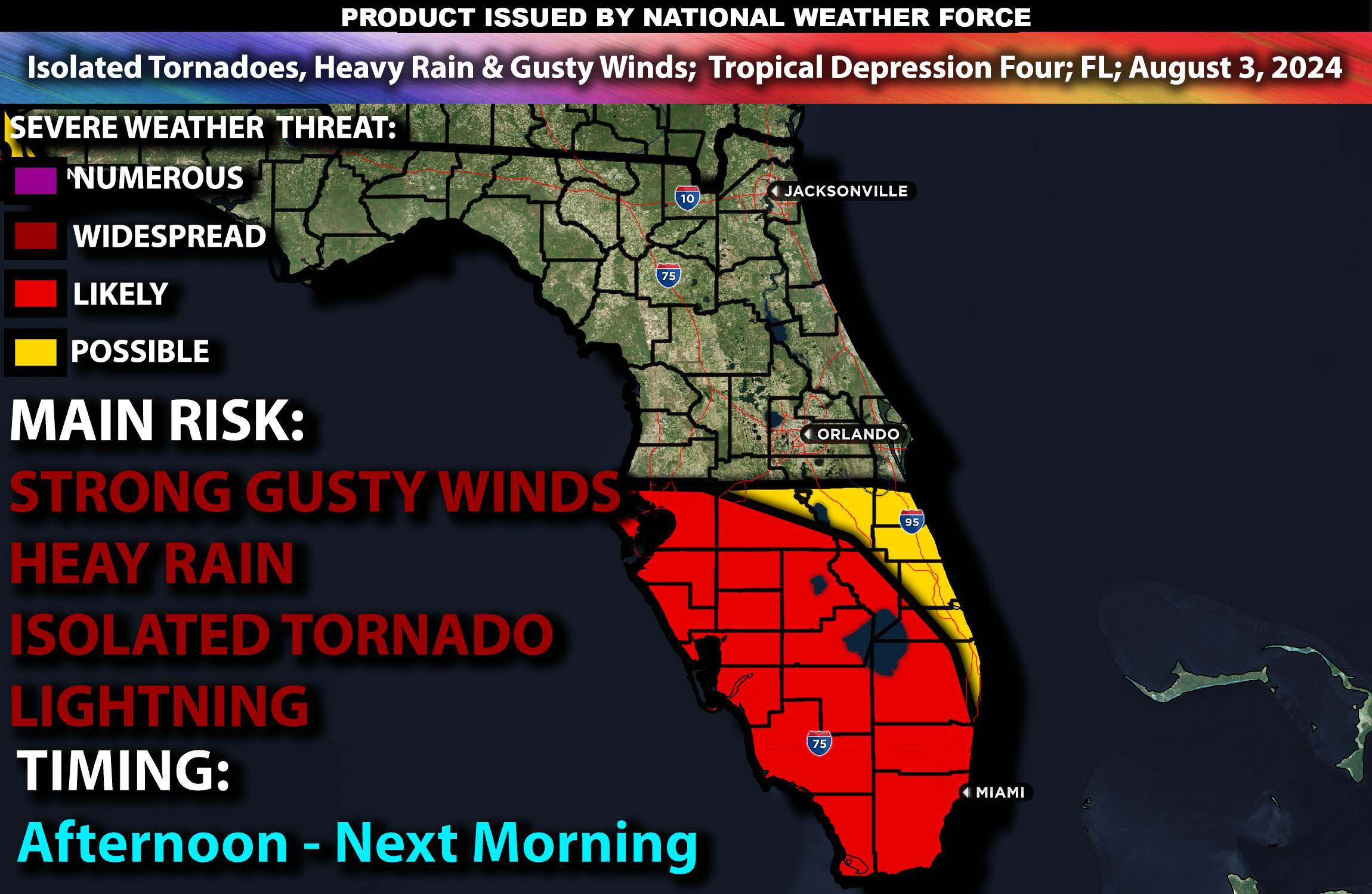
Tropical Depression Four is expected to impact parts of Florida from the afternoon into the evening, eventually strengthening into Tropical Storm Debby. These band of storms will bring heavy rain, damaging winds, and possible isolated tornadoes. Check below for further details on timing and much more.
Region Impacted: Florida
States and Cities Impacted: Florida (Miami, Tampa).
Upper-Level Dynamics:
A large upper-level trough over the eastern U.S. will interact with Tropical Depression Four as it moves northwest towards Florida. This interaction will enhance southwesterly flow across the state, providing significant lift and promoting storm development. Wind shear values around 25-35 knots in the 0-6 km layer will support organized storm structures, including supercells within the rain bands of the tropical system.
Surface Conditions:
At the surface, instability values are expected to reach 1500-2500 J/kg across Florida. Dewpoints in the low 70s will contribute to significant instability, creating a moist and unstable environment. The tropical depression will bring enhanced low-level shear, contributing to the potential for isolated tornadoes within the storm’s rain bands. Mid-level lapse rates will be moderate, promoting strong updrafts within the convective cells. Rain bands from the tropical system will produce heavy rain, damaging winds, and isolated tornadoes.
Timing:
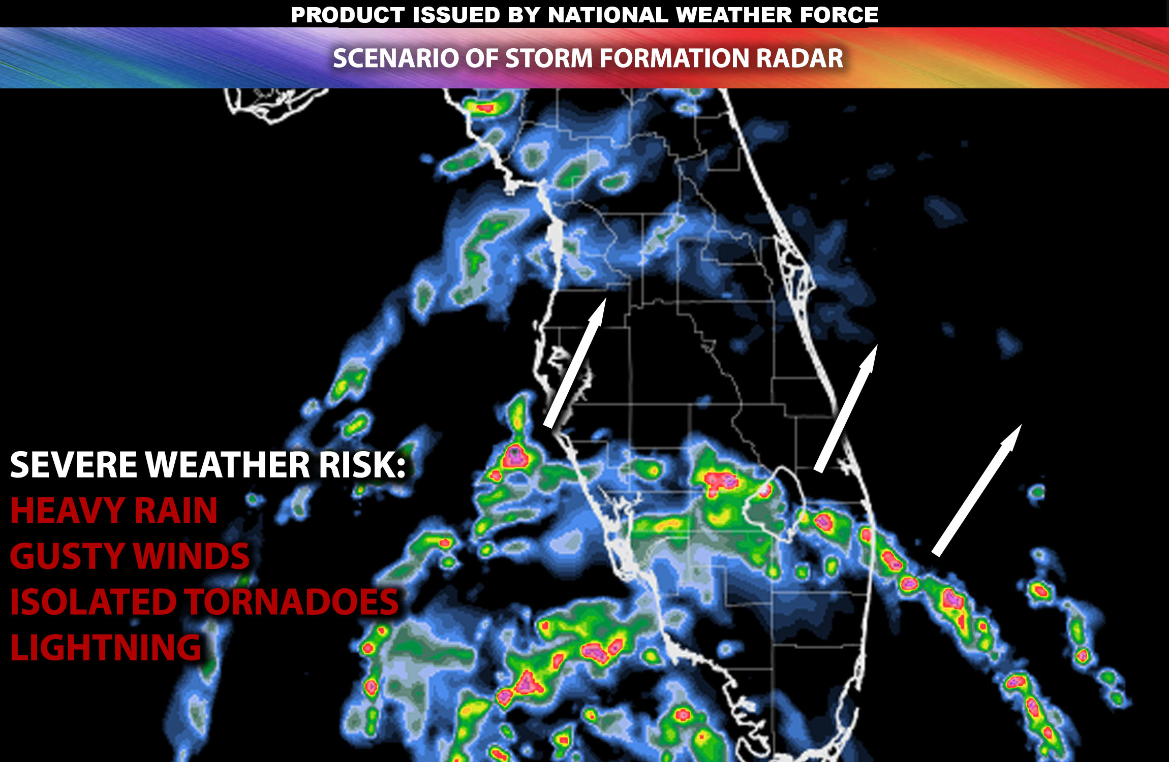
The outer rain bands of Tropical Depression Four are expected to begin impacting central Florida by mid to late afternoon. These bands will move into southern and central parts of the state by early evening, continuing to spiral off the coast of western Florida, bringing heavy rainfall and gusty winds. Peak activity will likely occur from late afternoon through the evening, especially across southern portions of Florida, with the most intense weather expected during this period. More bands will continue to move through eastern portions of Florida throughout the night, with the same risks continuing into the morning hours of Sunday as well.
Future Radar Scenario:

Main Impact: damaging winds, isolated tornado and lightning.
Stay tuned for more updates.
Sina⚡⚡
Managing Partner and Lead Forecaster of NWF Innovations & NWF Networks
