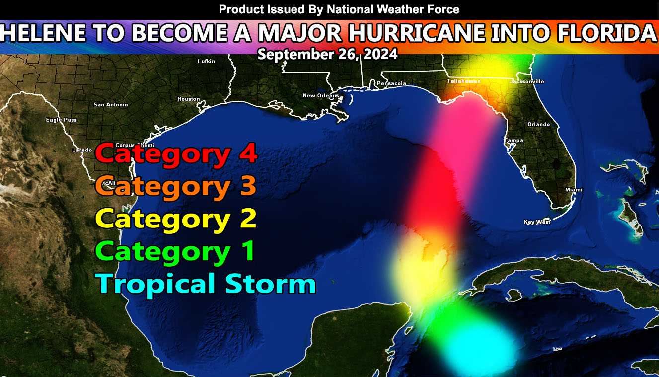
National Weather Force is forecasting a major Hurricane to hit Florida by Thursday, September 26, 2024.
A fast-developing system in the Western Caribbean will turn into a tropical storm today. National Weather Force models indicate it will rapidly become a hurricane just off the northwest tip of the Yucatan Peninsula by early Wednesday morning, and furthermore ‘bomb out’ into a major hurricane thereafter through the Eastern Gulf of Mexico throughout the day and night Wednesday before hitting a mark between Dekle Beach and Carrabelle, Florida on Thursday.
National Weather Force models indicate that it will become a category four, close to category five system before hitting this location. Given the trough of low pressure is directly north of it, it will act like Wilma and many low-pressure centers at the surface and rapidly become a major hurricane as it turns northward towards the landfall point.
If you are in the path of the National Weather Force track in the article image, prepare now … if at the coast, get out.
In addition to the major hurricane, Tornadoes will be likely across most of the Florida Peninsula as well as flooding.
Raiden Storm
Master General Meteorologist

