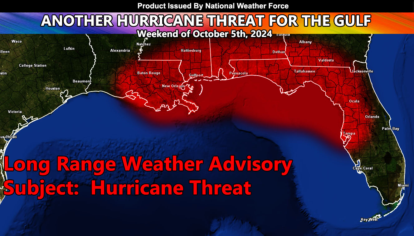
National Weather Force has issued a Long-Range Weather Advisory for the weekend of October 5th, 2024, for yet another hurricane threat.
Zones Affected: Eastern half of Louisiana – Mississippi, Alabama, Florida, and Georgia.
Official Discussion: A disturbance easily seen on visible satellite south of Jamacia will be the focus spot. As the Western United States heats up over a major ridge of high pressure, the opposite will be so for the Central and Eastern part of the country. This will set up a very similar pattern to what Major Hurricane Helene went into. A trough over the eastern half of the United States would mean any flow would be north and then northeast from the Gulf of Mexico.
We should be seeing development of this system by mid-week, and it will then enter the Gulf of Mexico from there. What we do know is that it will use the upper-level dynamics much like Helene and rapidly develop from there, similar to a Pacific Northwest deepening low pressure system.
The area of concern is wide at the moment, but if you or someone you know is within the red-shaded zone in the Long-Range Weather Advisory issued here, prepare for hurricane conditions during the weekend of October 5th, 2024.
As with Helene, stay tuned to National Weather Force for the tracking when available.
Raiden Storm
Master General Meteorologist

