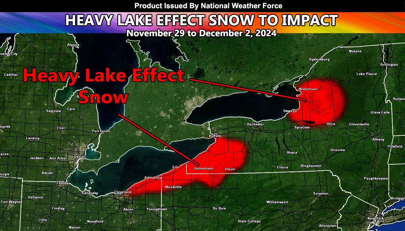
National Weather Force has issued a Lake Effect Snow Warning effective Friday of this week, until Monday Next week.
Zones Affected: Western and Southwestern New York – Northwest Pennsylvania – Northeast Ohio
Official Discussion: A storm system that will pass the northeast on Thanksgiving, affecting New York City with flooding, will bring a strong westerly flow behind it, off Lake Erie and Lake Ontario. Patterns such as this product what is known as Lake Effect Snow. This event can produce between two and four feet of snowfall for the shaded areas within the map provided in this article.
Lake effect snow is common across the Great Lakes region during the late fall and winter. Lake Effect snow occurs when cold air, often originating from Canada, moves across the open waters of the Great Lakes. As the cold air passes over the unfrozen and relatively warm waters of the Great Lakes, warmth and moisture are transferred into the lowest portion of the atmosphere. The air rises, clouds form and grow into narrow band that produces 2 to 3 inches of snow per hour or more.
Wind direction is a key component in determining which areas will receive lake effect snow. Heavy snow may be falling in one location, while the sun may be shining just a mile or two away in either direction. The physical geography of the land and water is also important.
Raiden Storm
Master General Meteorologist

