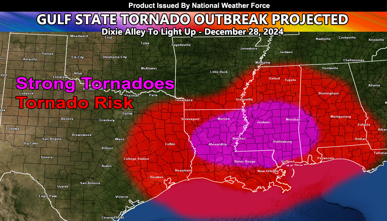
National Weather Force has issued a Tornado Outlook today through this evening.
Zones Affected: Eastern Texas, Southern Arkansas, all of Louisiana, Mississippi, and Alabama, Florida Panhandle …
An upper atmospheric trough currently over the southwest is projected to shift into the plains by morning. Coupled with heightened instability, ample moisture, and vertical shear, this will amplify the risk for severe thunderstorms capable of generating large hail (sometimes very large), destructive winds, and tornadoes due to the elevated Low-Level Jet.
The weather activity will shift and intensify eastward from Eastern Texas into the rest of the forecast zone. Here, the chances for tornadoes will increase due to varied atmospheric shear levels. Some of the tornadoes today will be strong and even violent, posing a real risk of a late December EF4 or 5.
Raiden Storm
Master General Meteorologist

